AVVERTENZA
chi utilizza la traccia per replicare il percorso si assume tutte le responsabilità per rischi e pericoli a cui si può andare in corso, considerando altresì che la percorribilità e lo stato delle strade e dei sentieri muta nel corso del tempo e che non sussiste alcun obbligo a mantenere aggiornate le informazioni, si declina pertanto ogni responsabilità per conseguenze legate all’uso della traccia. Alcuni percorsi all’interno dei paesi attraversano sensi unici che influenzano il tracciato se pedalato in senso orario o antiorario. Solitamente sono superabili con piccole deviazioni urbane.
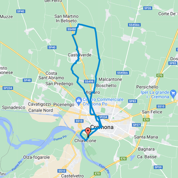
1. Lungo il Naviglio
26 km – Il Naviglio e l’Antica Strada Regina vi accompagnano in una escursione verso Nord
Along the Naviglio 26 km – The Naviglio and the Antica Strada Regina take you on an excursion towards the North
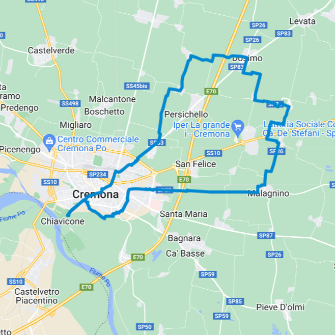
2. I prodotti della pianura
32 km – Lungo l’antica via Postumia per incontrare attività e aziende agricole del territorio
The products of our region 32 km – Along the ancient Via Postumia to meet local activities and farms
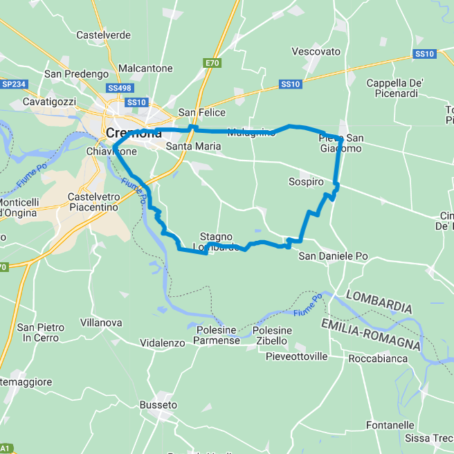
3. L’antica via Postumia
42 km – Pedalando lungo l’antica via Postumia e la ciclovia VenTo alla scoperta di una originale meridiana
The ancient Via Postumia 42 km – Cycling along the ancient Via Postumia and the VenTo cycle route to discover an original sundial
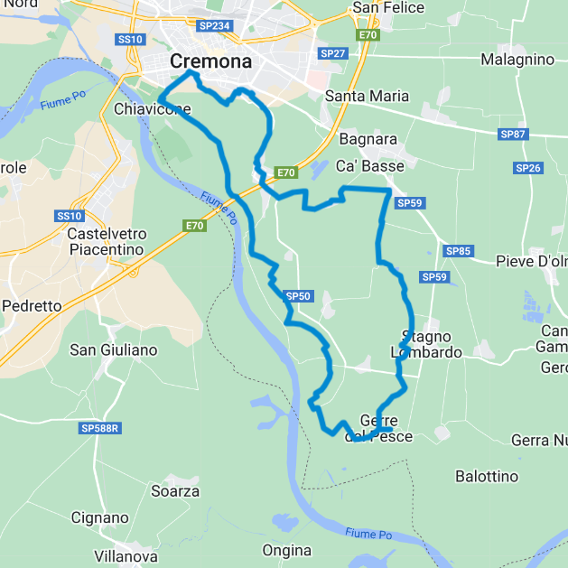
4. A spasso tra i Bodri
30 km – Alla scoperta di questi laghetti creati dal fiume Po quando decideva di riprendersi i suoi spazi nella campagna
Riding among the Bodri 30 km – Discovering these lakes (Bodri) created by the Po river when it decided to take back its spaces in the countryside
5. Superclassico Cremonese
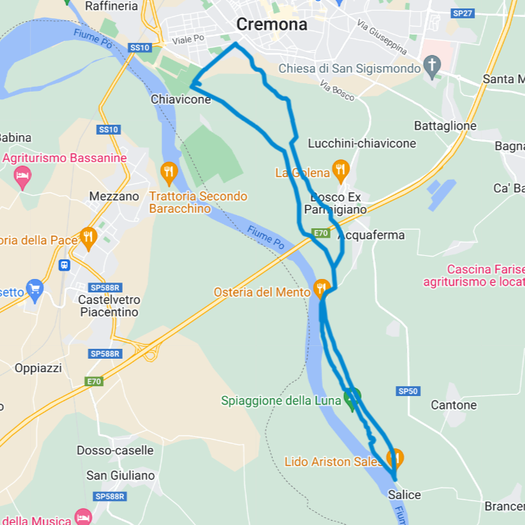
16 km – Avanti e indietro sull’argine maestro, lungo il fiume Po e le sponde del Morbasco si corre, si pedala, si passeggia e si chiacchiera
Cremona Superclassic bike tour 16 km – Back and forth on the main embankment, along the Po river and the banks of the Morbasco you run, cycle, walk and chat
6. Avventura in MTB
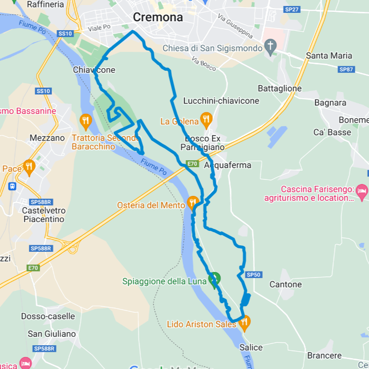
20 km – Percorso ufficiale e segnalato per mountain bike, tracciato da appassionati sportivi cremonesi
MTB adventure 20 km – Official and signposted route for mountain bikes, traced by Cremonese sports enthusiasts
7. Due pedalate nei dintorni
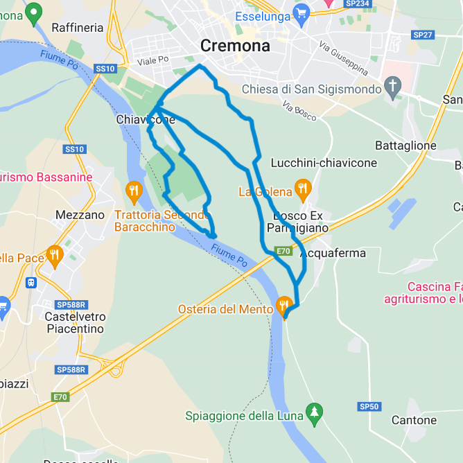
15 km – Se non ci si vuole allontanare troppo dal campeggio, senza rinunciare a scoprire le foreste di pianura e gli argini del fiume Po
A bike ride in the surrounding area 15 km – If you don’t want to stray too far from the campsite, without giving up discovering the lowland forests and the banks of the Po river
8. Alle porte della Food Valley
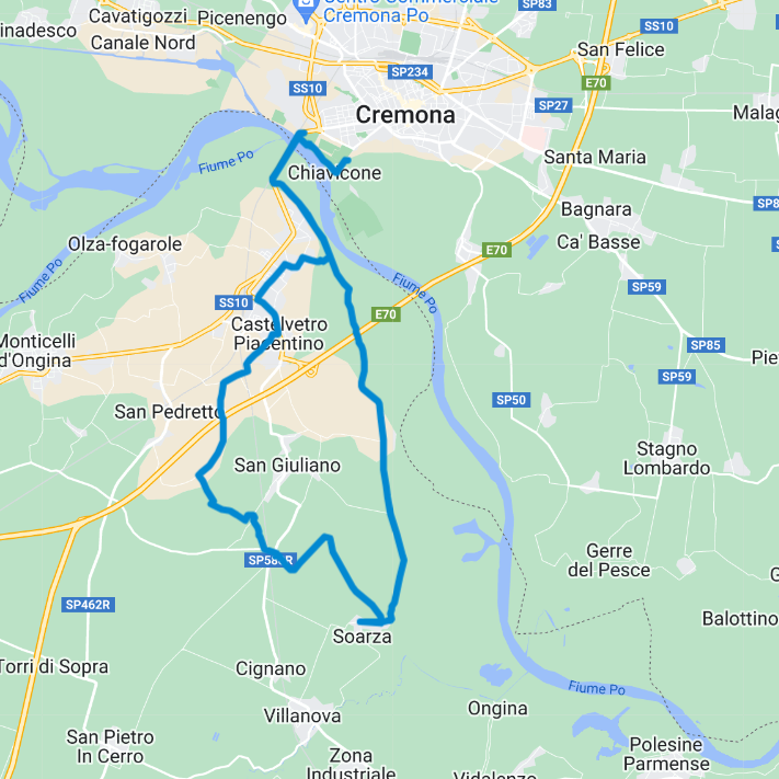
30 km – Dritti verso Parma fino a Soarza, chissà che i sapori non vi portino fino al culatello di Zibello
At the gates of the Food Valley 30 km – Straight towards Parma up to Soarza, who knows if the flavors will take you to Zibello’s culatello
9. Superclassico Piacentino
30 km – La sponda piacentina del Po fa concorrenza a quella Cremonese per bellezza e relax
Superclassic beyond river Po 30 km – The Piacenza side of the river Po competes with the Cremonese side for beauty and relaxation
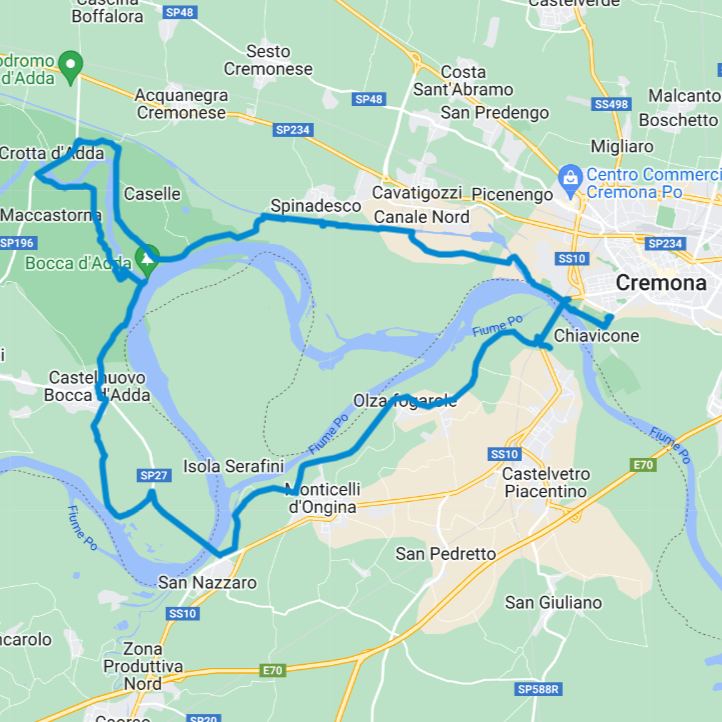
10. Tra Po e Adda
44 km – Tre province da attraversare e tanti panorami diversi lungo la ciclovia VenTo
Between Po and Adda 43 km – Three provinces to cross and many different views along the VenTo cycle route
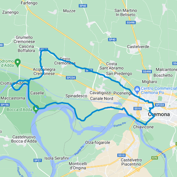
11. Al borgo di Crotta d’Adda
38 km – Lungo la ciclovia VenTo fino a Crotta d’Adda, piccolo borgo con colorati murales, antiche ville, vecchi traghetti e una lunga storia da scoprire
To the village of Crotta d’Adda 38 km – Along the VenTo cycle path to Crotta d’Adda, a small village with colorful murals, ancient villas, old ferries and a long history to discover
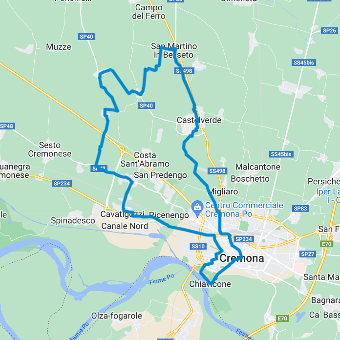
12. Rotta a nord-ovest
35 km – Pezzi dell’Antica Strada Regina vi portano ad esplorare piccoli paesi della campagna e il loro ritmo lento
North-west route 35 km – Parts of the Antica Strada Regina take you to explore small villages in the countryside and their slow pace
